
I’ve installed and been fiddling around with OsmAnd~ for a few days now. And I have to say it is dense. It has way too many details and it feels overwhelming.
For all its faults, Google Maps works really well when it comes to showing information. More and more details are shown as you zoom in.
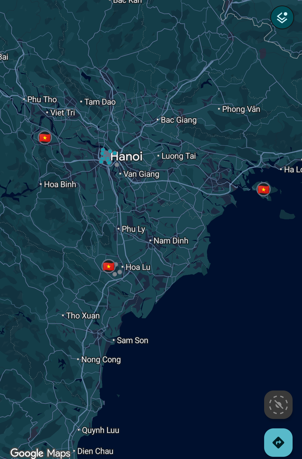
That’s not the case with OsmAnd.
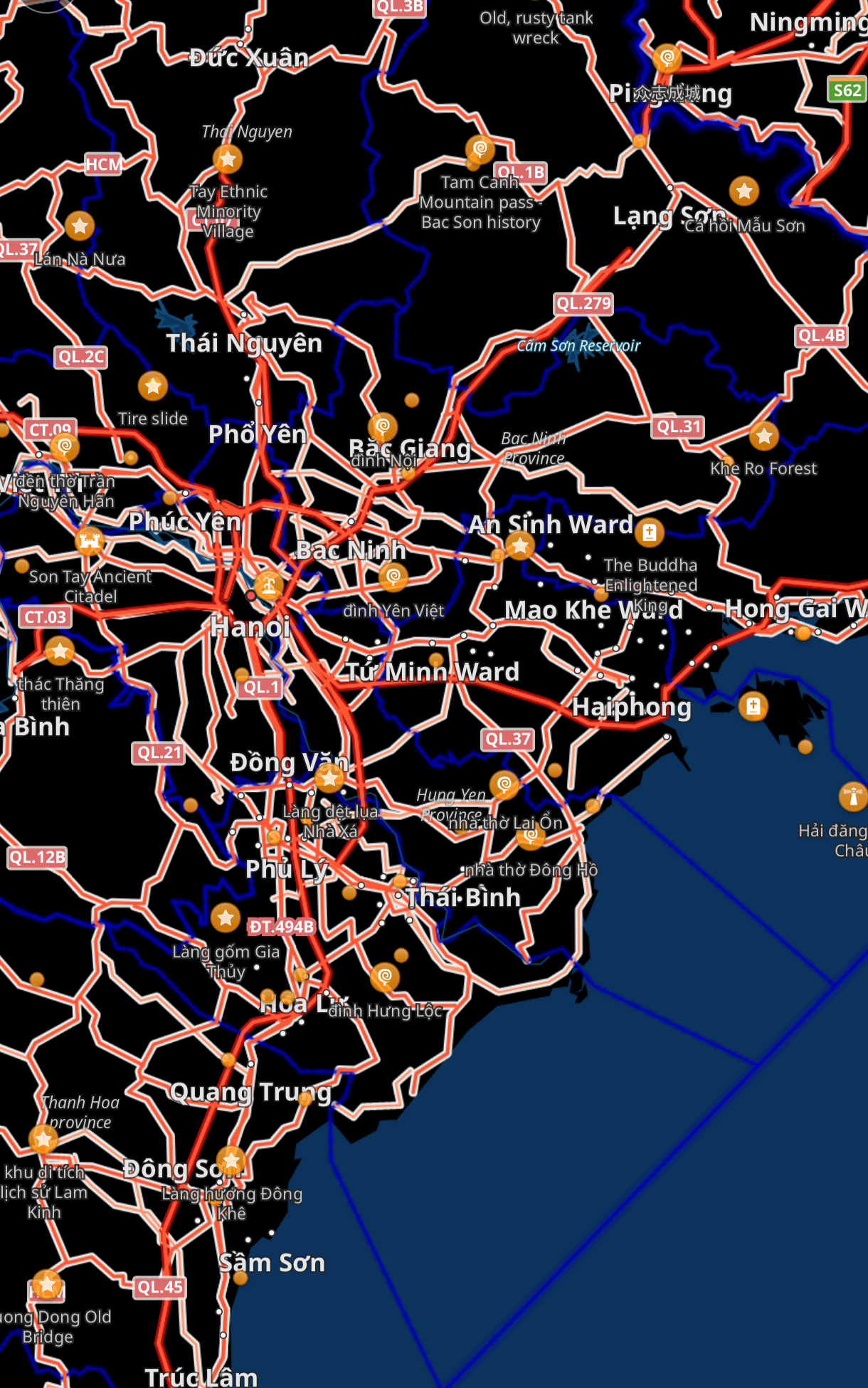
So much detail is on the screen when I’m looking to just get an idea of the region and I don’t even know where to start.
How can I make it look like Google Maps? Maybe I’ll be able to use that as a starting point and configure it further as needed?
Thanks.
OSMand is clearly made for hiking and other sports. Pretty much a must have. I use it all the time.
Certainly not for driving though. For example it considers every trail as a road, and tell you to take a left when really right is a tiny dirt road.
They should remove the car option to avoid more confusion.