

I’ve installed and been fiddling around with OsmAnd~ for a few days now. And I have to say it is dense. It has way too many details and it feels overwhelming.
For all its faults, Google Maps works really well when it comes to showing information. More and more details are shown as you zoom in.
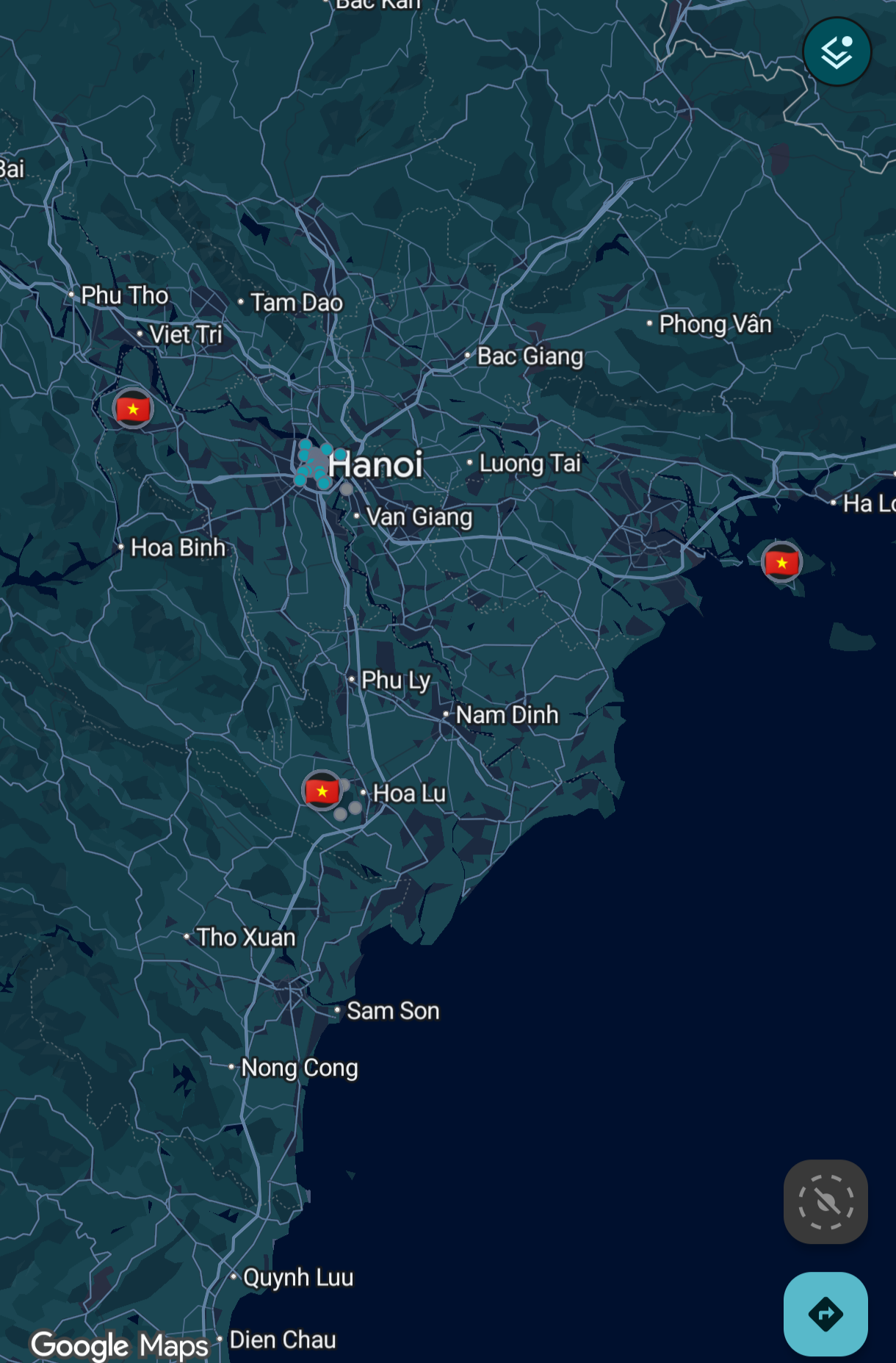
That’s not the case with OsmAnd.
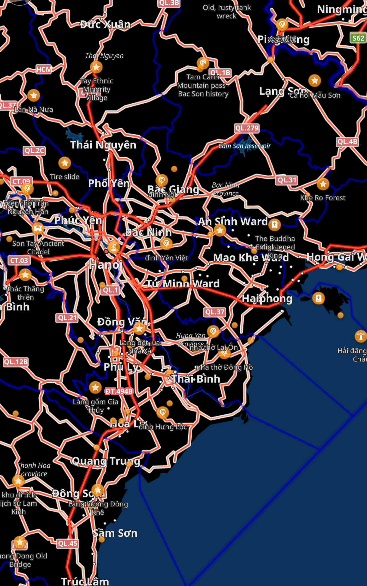
So much detail is on the screen when I’m looking to just get an idea of the region and I don’t even know where to start.
How can I make it look like Google Maps? Maybe I’ll be able to use that as a starting point and configure it further as needed?
Thanks.
CoMaps is really neat, and is superior to Google Maps for me because you can download offline maps, meaning you can still view it without a signal. It has a slick UI and is even available on (desktop) Linux (better mobile Linux support is being worked on)
Google Maps has had offline maps for years and years…
Not properly, and without walk routing
Oh, I didn’t know that! I do still like CoMaps more though, since it’s open-source, community-run (it’s in the name!), and generally a more pleasing UI in my opinion (it genuinely looks really nice!)
And of course you have the benefit of not having loads of trackers on your maps app (which should be designed to track your location, not your ad preferences!)
I’m also super surprised how accurate the navigation is, even for pedestrian streets it had all the things you would want: automatic path switching when you make a wrong turn, voice outputs that auto disable when your headphones disconnect, and a really accurate time left estimate!
But only for a small region.
OSM, etc let you download the entire world if the maps exist.
I just copy them from phone to phone if I don’t even need to update them.
GMaps and the true offline mapping are just different things, and that’s OK.
Funny the downvoter.
Show me how GMaps does true downloading - it doesn’t. It does the areas you choose, which is great. But it’s not like CoMaps, Organic, CoPilot, Magic Earth, etc.
Only for car routes. It’s bummer when I need to check route while on my bike and with zero data.