

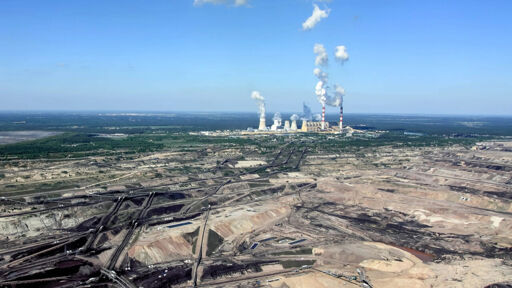
I was interested to see this on a map, where exactly it is etc.:

BTW the “Szczerców field” mentioned in the article is labeled “Pole Szczerców” on the map.

The huge mine complex stretches to around 8.5 kilometers in length, with its size so vast it has been visible via satellite imagery. At its peak, huge holes in the earth plunged as deep as 310 meters.
That’s deep.
Also: Bagger!
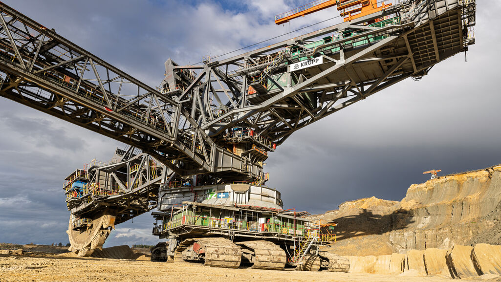
Leaving the excavator underwater is going to make for some amazing unsettling photos in about twenty years
We are trying to do that at several sites here in Germany, too. The big problem is getting all that water. You can’t take that much from the rivers around - they currently have problems with low water levels due to the heat and no rain. Therefore you can’t take that much water f.e. from the Rhine to fill the Garzweiler holes. The current plan is that this will take several decades
There are a lot of lignite mines, which have been flooded already. During mining ground water is usually pumped out of the mine, to prevent flooding. So if you stop mining and pumping, the mine would flood anyway. However that would also wash out minerals and cause some serious problems on the “shore” of the new lake. So usually it is better to flood it as fast as possible.
The issue is that these mines are among the largest in Europe. Garzweiler as well as Bełchatów. However for Garzweiler we are talking 1/30 of the water the Rhine has near Colonge. It is bad, but certainly possible.
1/30 of the Rhine water near Colonge is massive. That is one of Europes biggest rivers and taking that much amount of water out is serious. We are talking about problems with shipping and water management in the netherlands, increased salinity in the north sea and so on. And if you take a look at the Spree, stopping pumping up the groundwater has its own problems. Berlin is depending on water from the Spree which is coming from pumped up groundwater. Stopping that will change a whole river system that grew over decades.

